

Ever feel that nature is calling you to jump into a living adventure? Muir Woods has trails that welcome every kind of walker. You can take a gentle stroll along the smooth Main Loop or cross four charming bridges while following the bubbling Redwood Creek. Picture towering trees and a softly babbling creek calming your mind on a quiet, winding path. In this guide, we share what makes each trail special so you can plan a day full of simple, unforgettable outdoor magic.
Muir Woods Trail Overview and Quick Stats
Main Loop Trail is a lovely, short walk of 0.5 miles that takes about 30 minutes. It’s great for everyone, wheelchairs, strollers, families, and the path is nice and flat. There’s a spot to refill your water, but don’t count on cell service. Ever notice a little redwood sparkling with morning dew? That’s the kind of moment you might catch here.
Redwood Creek, also known as the Four Bridges Trail, covers 1.5 miles and hugs the creek along a flat path. You’ll walk over four numbered bridges and wander through Cathedral, Bohemian, and Founders Groves, where redwoods soar above 200 feet tall. Imagine crossing Bridge 2 and feeling like you’re almost reaching the sky.
The Hillside Trail is another 1.5-mile loop that brings a bit more challenge with a 200-foot climb right after Bridge 4. It’s a quieter, more natural path with a boardwalk feel if you’re seeking peace away from the crowd.
If you’re up for a longer adventure, the Combined Route links the Canopy View, Lost, and Fern Creek trails into a roughly 4-mile loop, with a 300-foot climb that rewards you with peaceful creekside views away from the busy spots.
| Trail Name | Distance | Duration | Difficulty | Key Features |
|---|---|---|---|---|
| Main Loop Trail | 0.5 mile | ≈30 min | Easy | Wheelchair/stroller friendly, water refill |
| Redwood Creek (Four Bridges) | 1.5 miles | ~1 hr | Easy | Flat, four bridges, iconic groves |
| Hillside Trail | 1.5 miles | ~1 hr | Moderate | 200 ft elevation, natural boardwalk |
| Combined Route | ~4 miles | Varies | Challenging | 300 ft gain, quieter creekside sections |
Muir Woods Redwood Creek Trail (Four Bridges) Details
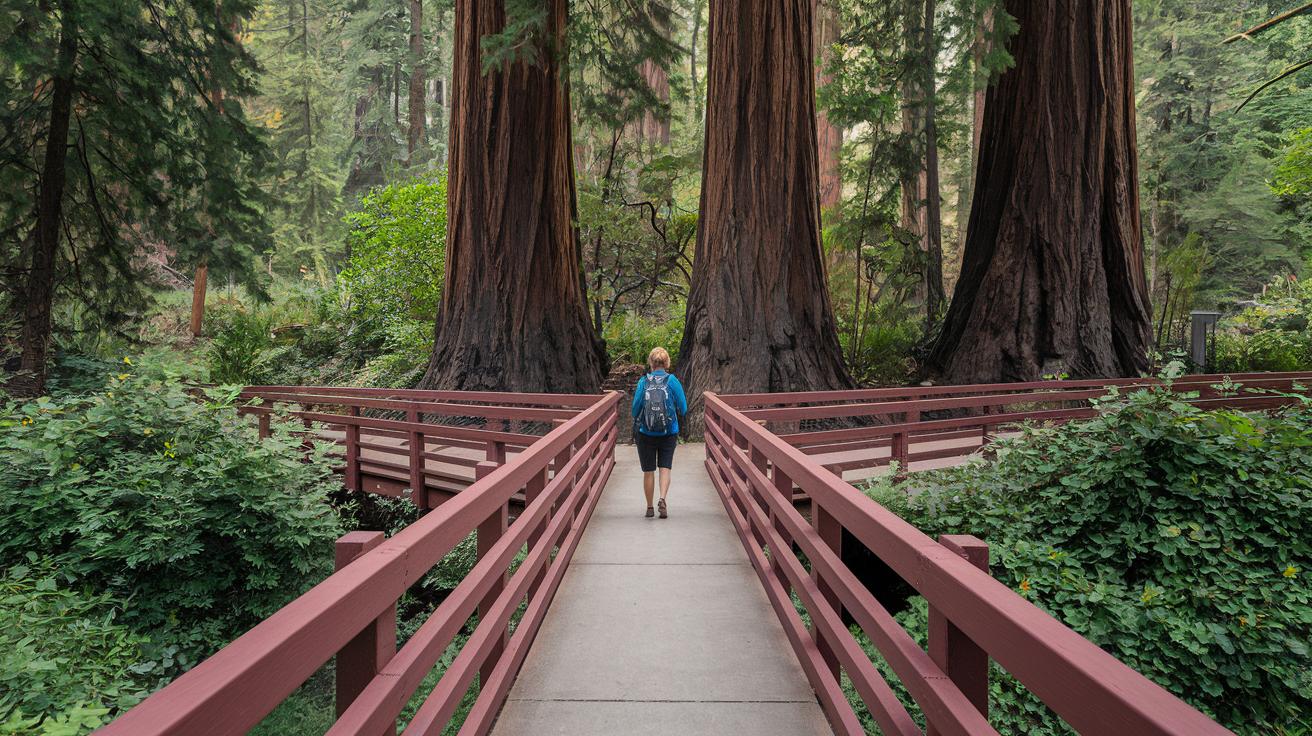
This lovely, flat trail wanders along Redwood Creek, crossing four charming bridges. Along the way, you'll pass three special groves, Cathedral Grove, Bohemian Grove, and Founders Grove, where ancient redwoods tower over 200 feet. At Bridge 2, you can grab fresh water, ideal when the sun is high and the air feels crisp.
The trail is fully accessible, making it a great choice for everyone, whether you're in a wheelchair or pushing a stroller. Keep your packing simple: a pair of comfy trail runners, some layered clothes to handle changing temperatures, and a water bottle to stay refreshed. Plus, you'll enjoy the quiet as there’s no cell service, letting you fully soak in the peaceful, tech-free beauty of the forest.
Muir Woods Hillside and Combined Trails Exploration
The Hillside Trail is a gentle 1.5-mile loop starting at Bridge 4. It climbs about 200 feet, feeling a bit like you’re walking on a natural boardwalk beneath towering redwoods. Every step gives you a quiet, warm welcome from the forest.
The Combined Route mixes parts of the Canopy View, Lost, and Fern Creek Trails into a 4-mile loop with a 300-foot climb. This path winds alongside a soft, babbling creek, and the old trees seem to whisper their secrets as you pass by.
Heads-up: restroom facilities are few. The only breaks are at the first parking lot and visitor center. So, check your gear and plan your stops ahead, just like you’d pack an extra water break before a long hike.
Planning Your Muir Woods Hike: Permits, Parking, and Maps
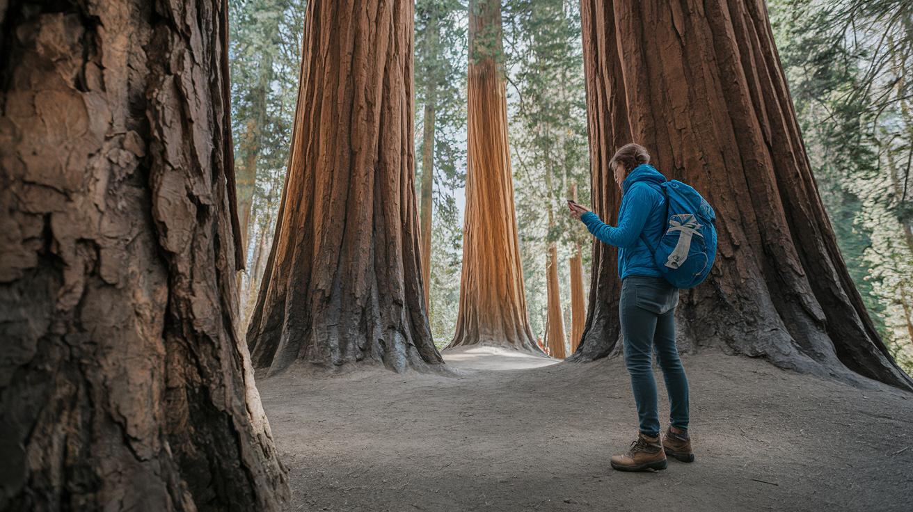
Getting ready for your hike in Muir Woods starts long before you step into the park. You need to book a parking spot ahead of time, as you can’t just roll up without a reservation. The fee is $9 for two lots, so it’s smart to plan early. It might sound as simple as filling out an online form, but locking in your spot is key to a stress-free visit.
The park only lets you in if you have a reservation. If you’re just putting one foot in the woods, you don’t have to worry about any extra permits. Still, booking early means you can dodge those few times when free entry might be available. Once your reservation is set, download or print the official PDF trail maps from the National Park Service. A paper map works just as well as a quick sketch when you’re surrounded by giant redwoods.
Remember these steps for an easy start:
- Reserve your parking online well before your trip.
- Keep your reservation code handy and note your arrival time.
- Print or save the NPS trail map PDF.
- Think about using the Marin Transit shuttle if you’d rather not drive.
- Pack water and note that food isn’t allowed on the trails.
Double-checking these details keeps the worries at bay. With your parking and maps sorted out, you can breathe in the crisp forest air and marvel at the towering redwoods. A bit of planning means more time to enjoy the quiet paths and the natural beauty all around.
Before you head out, take a moment to check your phone and offline maps. Even if the cell signal disappears among the trees, you’re all set to explore every twist and turn of Muir Woods. Enjoy the adventure!
Seasonal Conditions and Hazards on Muir Woods Trails
Mornings in Muir Woods greet you with a soft, drifting fog. The boardwalk can get slippery, so take extra care with every step. That mist may seem magical as tiny droplets catch the early light, but it also reminds you to watch your footing, almost like walking on a slick dance floor.
During winter, rain can swell the small creeks, and you might find crossings filled with rushing water. This means you’ll need to slow down and be extra cautious around the water. In summer, especially in Marin County, the heat lingers, so starting your hike early and packing extra water are musts. Early morning walks not only offer a cool breeze but also a peaceful start before the sun gets intense.
Come fall, the weather cools and brings its own special charm, though storms can pop up unexpectedly. With little to no cell signal in some areas, using offline maps or a satellite communicator (like a Garmin inReach Mini 2) becomes smart. And when you’re near the outer trails, keep an eye out for poison oak, you know, just a little caution goes a long way. Always check local weather updates before setting out on these scenic trails.
Visitor Tips and Essential Gear for Muir Woods Hiking Trails
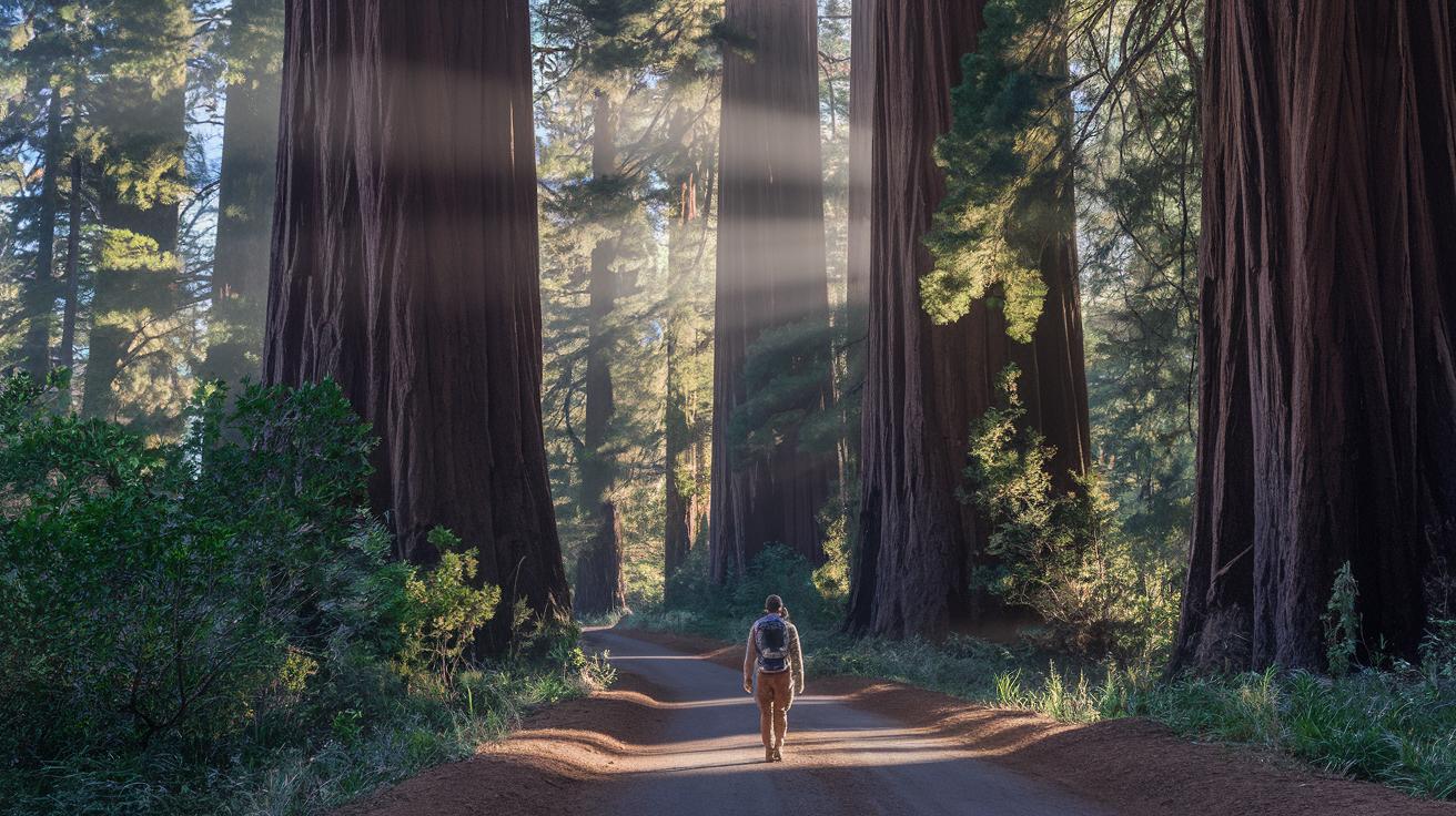
Get ready for a fun day under giant redwoods by packing smart. Bring your favorite grippy trail runners or hiking shoes, some layered clothes for changing weather, and a day pack filled with water and a few light snacks. Imagine setting out at dawn, when soft light gently touches every leaf and the forest seems to share a little secret just with you.
Photo lovers, this is your moment. Head over to Bridge 2 in Cathedral Grove, where the morning sun dances through ancient branches, or visit Founders Grove near Bridge 4, and don’t miss the Fern Creek footbridge. Picture capturing the warm glow of early light over Fern Creek, a truly magical scene that feels almost unplanned.
It’s just as important to care for nature as it is to have the right gear. Stick to the maintained trails, pack out all your trash, and skip using single-use plastics. These simple steps help keep the woods as pristine as ever. You might even try a guided tour with local experts who share fun, eco-friendly tips and help you see the hidden beauty of the trails.
Starting your hike before the sun climbs high means fewer crowds and an ideal backdrop for your photos. A quick check on your gear before you head out can make every step as enjoyable as the last.
For more ideas on low-impact hiking and sustainable practices, check out these sustainable guidelines at https://blackandburlap.com?p=284
- Pack your essentials early
- Explore the best photo spots
- Leave no trace along the way
- Try a guided eco-tour for unique insights
Final Words
In the action, we looked at trail details, practical gear tips, and planning pointers for a safe trip. We covered everything from easy loops to more challenging sections, comparing route lengths and highlighting seasonal factors. Helpful reminders on permits, parking, and staying safe round out the guide. Every step offers insights for enjoying muir woods hiking trails while keeping nature in mind. Here’s to embracing every moment on the path and making the most of each scenic stop along your way.
FAQ
Where can I find Muir Woods hiking trails map in PDF format?
The Muir Woods hiking trails map in PDF format is available on the National Park Service website. It clearly shows the routes, parking spots, and accessible paths to help you plan your visit.
What are some recommended Muir Woods hiking trails, especially for beginners?
Easy trails like the Main Loop and Redwood Creek (Four Bridges) trails offer simple, clear paths with water refills and stunning redwoods. These routes are perfect for beginners looking for a gentle walk.
What is the most popular trail at Muir Woods?
The Redwood Creek (Four Bridges) Trail is widely popular because it features flat terrain, numbered bridges, and intimate redwood groves, offering a memorable and accessible experience for most visitors.
Is Muir Woods a hard hike?
Muir Woods generally offers easy to moderate hikes. While most trails are gentle, longer loops like the combined Canopy View, Lost, and Fern Creek route provide extra elevation and challenge.
How long are the hikes in Muir Woods?
Hike lengths vary from a 0.5-mile loop near the entrance to a 4-mile combined route. These differences allow you to choose a short, relaxed stroll or a more extended trek through the redwoods.
What are must-see spots within Muir Woods?
Must-see spots include Cathedral Grove and Founders Grove, where towering redwoods captivate with their impressive heights and serene settings, making these areas perfect for quiet reflection and photos.
What can you tell me about Muir Woods National Monument and nearby landmarks?
Muir Woods National Monument protects ancient redwoods and lies near well-known sites like Mount Tamalpais, Stinson Beach, Sausalito, Redwood National and State Parks, and Point Reyes National Seashore, all offering unique outdoor sights.
Do any Muir Woods hikes lead to a beach or offer waterfall views?
Muir Woods itself focuses on forest trails, but many hikers plan combined routes to nearby coastal paths or waterfalls. These extended routes need extra planning, so check local guides before you go.