

Ever wonder if your next refreshing escape is just around the corner? This guide highlights a few local trails, each with its own amazing mountain views. Some paths are perfect for a gentle stroll on soft slopes, while others challenge you with steeper climbs and unexpected turns. These routes mix a touch of history with ocean sights and clusters of tall trees, offering a quick, scenic break from your normal routine. Ready to check out these natural gems and find your next adventure?
Mountain hikes near me: Scenic Local Trails
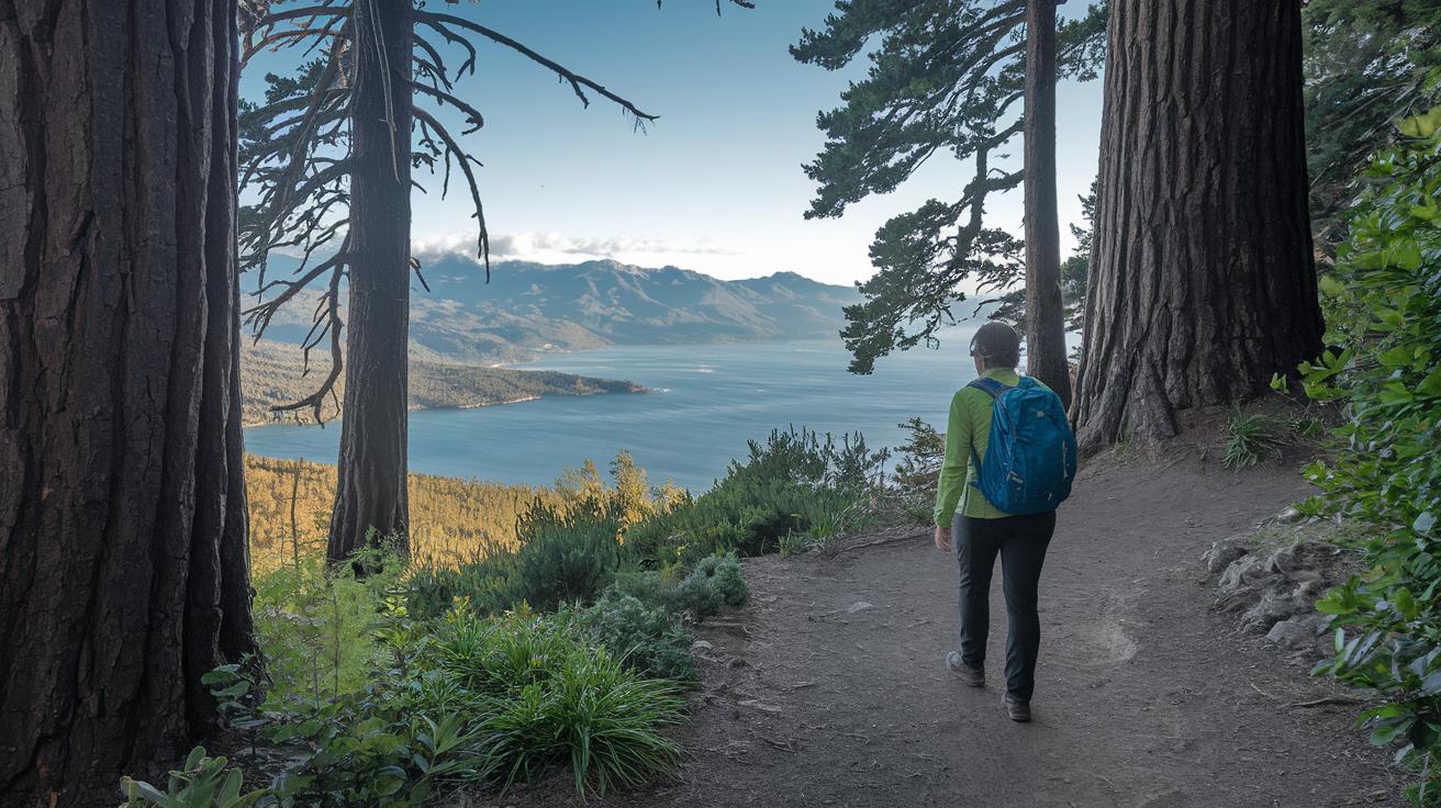
We've put together a neat guide that shows five local treks boasting wonderful mountain views. Whether you’re after a gentle walk or a more challenging climb, you’ll find a route that suits your pace.
| Trail Name | Distance | Difficulty | Highlights |
|---|---|---|---|
| Seaview Trail (Tilden Regional Park) | 3.5-mi loop | Easy to Moderate | Sweeping San Francisco Bay views |
| Old Briones Trail (Briones Regional Park) | 5.5-mi loop | Moderate | Rolling hills with oak trees near Bear Creek |
| Fort Cronkite Loop (Marin Headlands) | 3.8 mi | Moderate | Ocean vistas and WWII relics at Hill 88 |
| Alamere Falls Out & Back (Point Reyes) | 8-mi round trip | Challenging | A cascading ocean waterfall with coastal brush |
| Dipsea/Steep Ravine/Matt Davis Loop (Mt. Tam) | 6.8-mi round trip | Strenuous | Ladder climbs and redwood trails from Stinson Beach |
These trails were chosen for their ease-of-access and the special scenic touches they offer. If you’re craving a quick escape with light packing, the Seaview Trail rewards you with a burst of bay views on a short loop. Prefer a mix of flat trails and gentle climbs? Old Briones Trail lets you combine routes to suit your mood.
The Fort Cronkite Loop gifts you the soothing sound of surf along with a slice of history, while Alamere Falls calls for a bit more endurance with its longer course and tricky spots like poison oak. And for those ready for a true test, the Dipsea Loop challenges with ladder climbs and winding paths beneath ancient redwoods.
If you’re interested in more waterfall adventures, check out the “hiking trails with waterfalls” page – you might just discover a hidden gem.
Choosing the Best Mountain Hikes Near Me for Your Skill Level
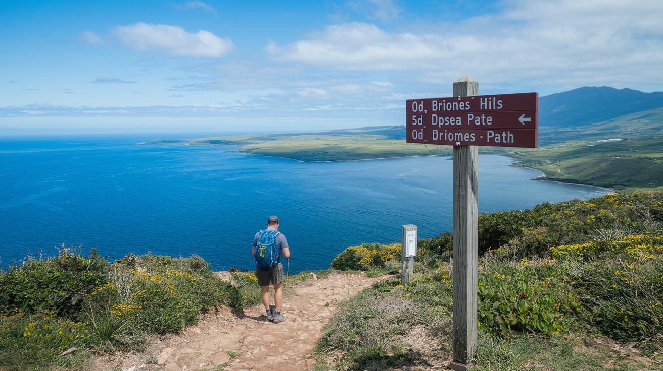
Seaview Trail is a small 3.5-mile loop that's perfect for a light outing. You get gentle bay views on an easy path, just a warm-up stroll before trying something tougher. It’s like dipping your toes into adventure without going all in.
Old Briones Trail is a cool choice if you want to decide how hard you want to go. You can take a quick, breezy walk or enjoy a longer trek through oak-lined hills, like choosing between a snack and a hearty meal.
If you're ready for a real challenge, Dipsea Loop and Alamere Falls can push your fitness to the next level. Dipsea asks for steady effort with ladder climbs and steep parts, while Alamere Falls means you have to watch your step through thick brush and dodge poison oak (a plant that can really irritate your skin). Imagine adjusting your pace and gear as you meet each new twist on the trail.
Navigating Trail Maps and Getting Directions to Mountain Hikes Near Me
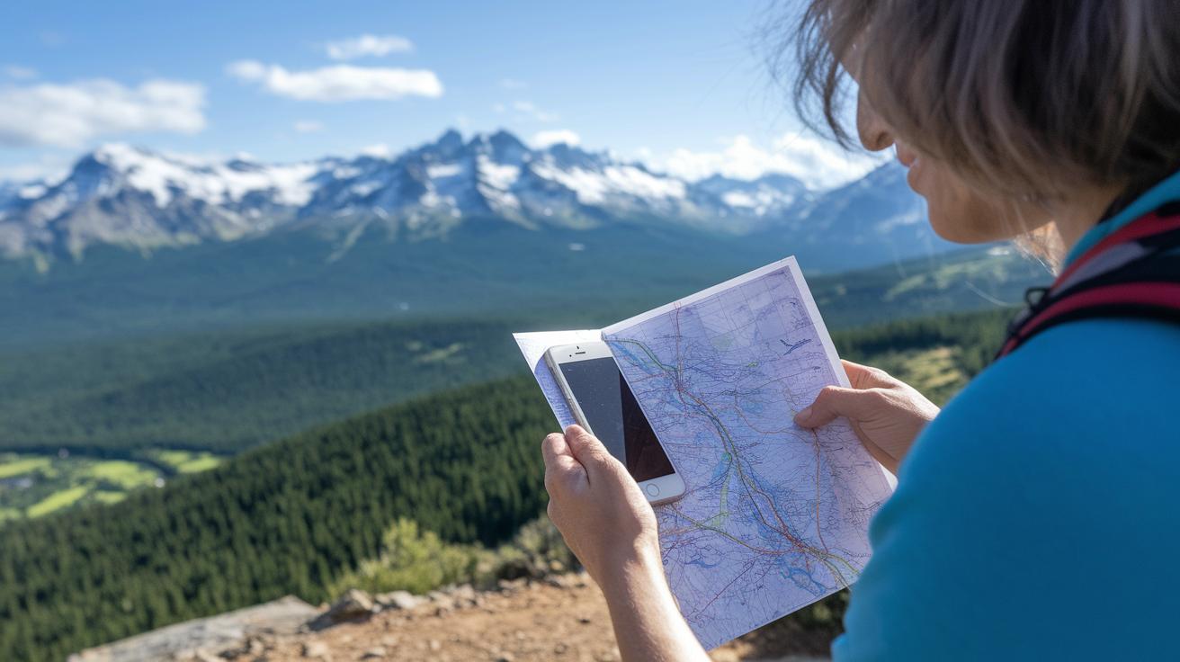
Mix modern digital map apps with trusty paper maps to keep your adventure on track. This combo makes sure you don’t miss a turn along the way. If Alamere Falls is calling your name, check your favorite app for the Palomarin trailhead details and remember to follow the parking rules. Heading to Old Briones? Look up the Bear Creek staging area and keep an eye out for any parking fees. Over at Tilden Regional Park, you’ll find nifty map links showing nearby transit stops, making it a breeze to get to the Seaview Trail. And for the Mt. Tam Loop, clear info on the Stinson Beach parking lot and shuttle times helps you plan your visit without stress.
Using Digital Map Apps
Ever tried apps like AllTrails or Gaia on your hike? They give you live GPS tracking, easy-to-read elevation details (that’s how steep a trail might be), and even photos of trailheads. Imagine pausing on your trek to check a live map that shows you the exact way up to Bear Creek, you can even adjust your pace as needed.
Reading Topographic Maps
Learning USGS topo maps is like unlocking a secret tool for your hike. They show you contour lines (those lines that tell you where the land rises and falls), symbols for trail junctions, and spots where water might be around. Notice small blue lines marking streams or gaps that hint at gentle slopes. This skill builds real confidence as you follow nature’s cues on your journey.
Scenic Features of Mountain Hikes Near Me: From Waterfalls to Ocean Views
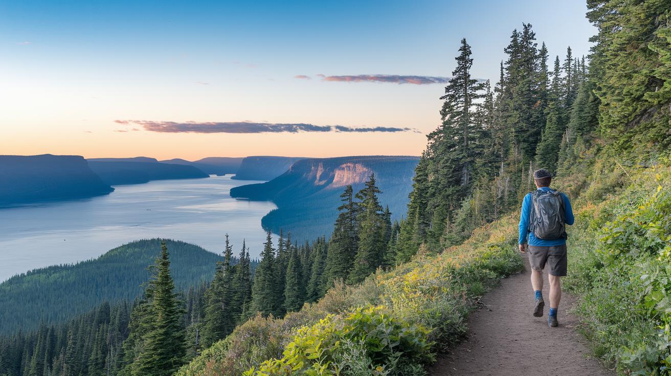
Imagine stepping onto the Seaview Trail, where a wide bay view and gentle East Bay hills welcome you at every turn. The sky spreads over you, and a cool ocean breeze brushes your face, it's like nature’s own refreshing shower as you listen to distant waves crashing.
Next, meander along the Alamere Falls route. Here, a waterfall gathers in a tide pool, sparkling in the sunlight before it meets the rugged coastline. It feels like catching a memory of salty air and the soft, steady murmur of water, kind of like watching a sunset at a hidden seaside cove.
Then, while exploring the Fort Cronkite Loop, keep an eye out for a WWII bunker silhouette perched on a cliff. Its quiet presence adds a dash of history to the trail, mixing the beauty of nature with a tale from days gone by.
If you set off on the Dipsea trail, be ready for surprises. The path leads through redwood canyons and up ladder climbs (a series of ladders along steep sections) that gift you breathtaking views. Over in the Old Briones area, patches of oak and bursts of wildflowers create picture-perfect moments at every turn.
Each of these trails invites you to pause and truly take in the details, from shimmering droplets of water to craggy, weathered rocks. It's like nature is showing off its own work of art, waiting for you to explore every last part of these stunning routes.
Family and Dog-Friendly Mountain Hikes Near Me
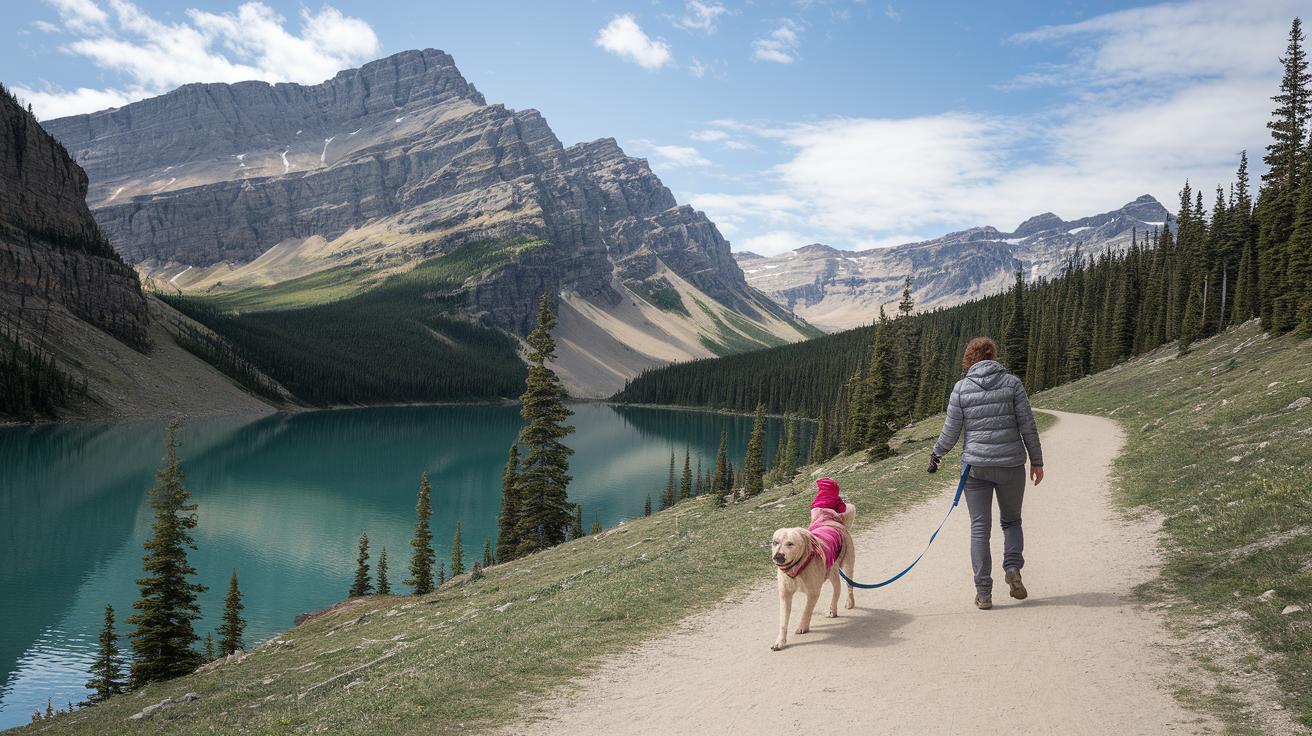
Emerald Lake Loop offers a leisurely 1.5-mile trail that winds around a 20-acre lake. It’s smooth and friendly, ideal for families with little ones and dogs on a leash. Picture starting your day with a gentle stroll where kids and pups enjoy the peaceful vibes of nature.
Next, Equinox Pond via Flatlander Pass invites you on a 2.5-mile journey along a well-trodden path, complete with cozy picnic spots. It’s a favorite among local pet lovers. Imagine packing a snack, taking a quiet break, and soaking up the soft hum of the wild around you.
For a bit more adventure, check out Wiliwilinui Ridge Trail. This 4.7-mile path is moderately challenging, meandering through cool, shady spots and a few water crossings (easy-to-cross streams). It’s perfect if your pup is up for a little extra exercise while you keep a careful eye.
Then there’s Kuliʻouʻou Ridge Trail, stretching 4.2 miles with a steady climb that builds up to a welcoming summit complete with benches. It’s a spot where families can pause, catch their breath, and take in the view. These trails fit various energy levels, ensuring everyone stays safe and comfortable on their outdoor adventure.
Seasonal Considerations for Mountain Hikes Near Me
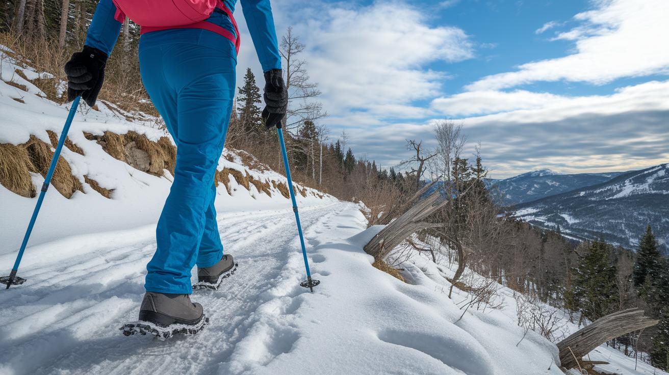
In winter, trails like Prospect Rock and Dipsea often get icy. The frozen ground calls for extra care. It’s a good idea to use traction devices to keep your footing sure. Bundle up and take your time so you stay safe and enjoy the crisp air.
Spring brings a burst of color along places like Briones and Tilden ridges. Checker lilies and lupine start blooming around April, filling the air with a gentle wildflower scent. With cool weather all around, a light jacket is usually enough while you take in nature’s awakening.
Summer can feel pretty intense on open ridges. Starting your hike before 8 a.m. helps you dodge the worst of the heat. Be sure to pack extra water, wear a hat and some sunscreen, and take breaks in shaded spots to keep cool and steady on your journey.
In fall, the Marin Headlands put on a spectacular show with golden grasses and a refreshing chill in the air. Cooler days make for perfect longer loops, inviting you to slow down and leave only light footprints behind. Enjoy the scenic pace and let nature show you its quiet beauty.
Essential Gear and Safety Tips for Mountain Hikes Near Me

Before you head out, pack smart. A good pair of light hiking boots with snug ankle support keeps your steps confident on rocky trails. Don’t forget a hydration pack (at least 2 liters) and a few snack bars, these fuel you up when you need it most, like checking off a must-do list before hitting the path.
If you’re planning a longer hike, think about bringing a small first-aid kit, a whistle, and a headlamp for emergencies. These little extras can really help if your plans change unexpectedly. Layers are key, too. Wear clothes that work in cool coastal fog at places like Marin Headlands and bright sun along ridges in spots like Briones. That way, no matter how the weather shifts, you’ll stay comfortable.
Also, before you set off, check for any permit or check-in rules at popular spots like Point Reyes or local state parks. Spending just a few minutes reviewing your camping essentials checklist can boost your confidence and keep you safe along winding trails.
- Light hiking boots with snug ankle support
- Hydration pack (2 L minimum) and snack bars
- Compact first-aid kit, whistle, and headlamp
- Layered clothing for varying weather conditions
- Permits and check-in details for designated parks
Stay alert, be ready for whatever comes your way, and enjoy every step on the trail.
Final Words
In the action, the article laid out diverse trails that blend scenic spots with hands-on tips. You read about clear routes, seasonal advice, and gear essentials, all set to make your outdoor experience smooth. Each section paints a vivid picture of nature, from quiet forest paths to rugged terrains with ocean views. All this aims to help you feel confident and prepared while exploring mountain hikes near me. Enjoy stepping into the wild and making memories along the way.
FAQ
Frequently Asked Questions
What are mountain hikes near California?
The mountain hikes near California offer coastal loops and inland trails with dramatic bay views and wooded slopes. They cater to hikers looking for a mix of relaxing and moderately challenging paths.
What are mountain hikes near Texas?
The mountain hikes near Texas highlight gentle hill country trails and scenic overlooks. They provide a unique mix of natural beauty and local charm on quieter, less rugged tracks.
How can I drive to nearby mountains?
The drivable mountains near you are reachable via clear roads leading to marked trailheads with ample parking. This ease of access makes it simple to begin your outdoor outing with a short car ride.
How do I find scenic mountains near me?
The scenic mountains near you showcase striking views of valleys, rugged peaks, or coastal lines. Their impressive vistas make them a perfect spot for memorable photos and a refreshing escape.
How do I use a map to locate the closest mountains?
Using a map helps pinpoint the closest mountain ranges by highlighting trail symbols and peaks. Digital map tools offer clear directions, making planning your hiking trip straightforward.
What mountains near me feature waterfalls?
The mountains near you with waterfalls treat hikers to the soothing sound of cascading water and cool mist. Trails that note these natural features add extra charm and a refreshing break along your path.
What is the highest mountain near me?
The highest mountain near you stands out with challenging terrain and expansive summit views. Climbing it rewards you with a sweeping panorama, offering a memorable experience for those seeking a true test of endurance.
What is the most scenic hike in Colorado?
The most scenic hike in Colorado captivates with dramatic rock formations, vibrant wildflower patches, and clear alpine air. Its ridges provide breathtaking views that keep hikers inspired throughout the trail.
What is the closest mountain to DC?
The closest mountain to DC provides a quick outdoor escape with gentle, wooded paths and inviting picnic spots. It’s a great option for a short, refreshing day hike near the city.
What is the hardest hike in Maryland?
The hardest hike in Maryland challenges even seasoned hikers with steep ascents and rugged paths. It tests your endurance while revealing quiet, tucked-away spots that reward your persistence with natural beauty.
What is a good beginner hike length?
A good beginner hike length is typically 2 to 4 miles. This distance offers enough time to enjoy nature without feeling overwhelmed, making it ideal for those just starting out.
Which free hiking apps are recommended?
The best free hiking apps offer live GPS tracking, detailed trail maps, and user reviews. They help you plan safe routes and explore new paths with confidence, whether you’re a novice or a seasoned hiker.
Where can I find mountains with cabins near me?
The mountains near you with cabins provide a blend of scenic hikes and rustic lodging options. They offer a chance to relax in nature and extend your outdoor experience into an overnight stay.