

Ever get caught off guard by how nature can take your breath away in just a few steps? Mount Tam boasts two trails that offer a mix of surprises and challenges. One trail winds on for miles with ups and downs, offering a new scenic view around every bend. The other is a shorter, easier walk that still fills you with awe as you gaze over sparkling city lights and a vast ocean. In this post, we take a closer look at both paths and uncover what makes each one such a rewarding outdoor adventure.
Mount Tam Hikes Overview: Top Trails, Difficulty Levels, and Scenic Highlights
Mount Tamalpais is a welcoming spot for anyone who loves spending time outdoors. Nestled north of the Golden Gate Bridge in Marin County, its trails treat you to amazing views of San Francisco and the vast Pacific Ocean. One favorite route is the classic loop that blends Dipsea, Steep Ravine, and Matt Davis. It stretches 9.3 miles, offers a moderate-to-hard challenge, and takes about 4 hours to complete with roughly 1,700 feet of climbing. Think of it as unwrapping a layered treat, each step reveals a fresh scene to enjoy.
If you’re in the mood for something shorter but still scenic, the East Peak Summit Plank Trail is a great choice. In just a 10-minute stroll from the parking lot, you climb to 2,571 feet and are rewarded with wide views that capture the crisp mountain air and twinkling city lights at dusk. Families or anyone who enjoys a gentle path will love the Verna Dunshee Loop. At 1.8 miles, it’s friendly for strollers and perfect for a relaxed outing.
Then there’s the Cataract Falls Trail, which offers two unique ways to experience nature. One option starts at the Rock Spring Trailhead, following a series of steep steps down to Alpine Lake. The other, a shorter alternative, begins right at the lake’s edge. And in the warmer months, or on a fresh morning between May and October, don’t miss the Pancake Hike. It even features a delightful breakfast hosted by West Point Inn right along the trail.
These Mount Tam hikes aren’t just about reaching a peak. Each trail tells its own story through rising elevations, vibrant scenes, and unforgettable moments that make every step feel truly special.
Mount Tam Trail Maps and Navigation Tips
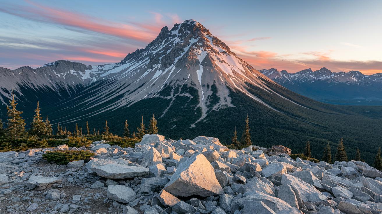
Before you hit the trail at Mount Tam, check out the parking first. Look for lots with bright orange markers like East Peak, Pantoll, and Bootjack. These spots are like little signposts pointing you to your adventure. Imagine pulling up and seeing orange markers guiding you like friendly campfire advice.
| Parking Lot | Notable Feature |
|---|---|
| East Peak | Near the trail start and walk to the summit |
| Pantoll | Opens up many trail choices |
| Bootjack | Leads into routes for Muir Woods adventures |
Once you set off, you'll see signs using easy color codes and distance markers at each turn. They let you know how far you’ve come and what’s waiting ahead. Lots of hikers also use GPS apps with a special Tamalpais map overlay as a backup when you’re away from cell towers. And if you’re around Bootjack Campground or Mountain House Inn, you’ll find extra paths that wander into quieter parts of nature. This mix of classic trail marks and modern tools helps keep you on course while you embrace the great outdoors.
2 Mount Tam Hikes: Breathtaking Trails Ahead
Kick things off at the East Peak summit, standing at 2,571 ft where you catch stunning views of the Bay Area as dawn or dusk paints the sky. Imagine the cool morning air and soft light gently revealing San Francisco and the endless Pacific below. Ever watched the city come alive from up high? It's a moment you won't forget.
Next, take the well-loved trail that winds from East Peak down to West Point Inn. On weekends from May to October, hikers stop for a pancake breakfast right on the trail. Picture yourself pausing to enjoy warm, fluffy pancakes as the early light fills the sky with vibrant colors. This tasty break is a true highlight that makes the hike even more memorable.
Along the ridgeline, friendly trail markers guide you toward endless skyline views. The path connects from Pantoll to Pantoll Fire Road, giving you a constant stream of panoramic scenes. Imagine standing at a 360° lookout near North Peak or at the Coast View Trail junction, where every angle reveals a fresh slice of rugged terrain and wide-open skies.
Enjoy a mix of challenging climbs and rewarding descents, each marked clearly with natural spots to rest. Whether you're basking in the twilight glow on a peak or soaking in the gentle shine of early morning light, every summit loop and ridgeline walk tells its own outdoor story. It's the kind of trail that lets you savor each step as nature whispers its secrets along the way.
Family-Friendly and Beginner Mount Tam Hikes
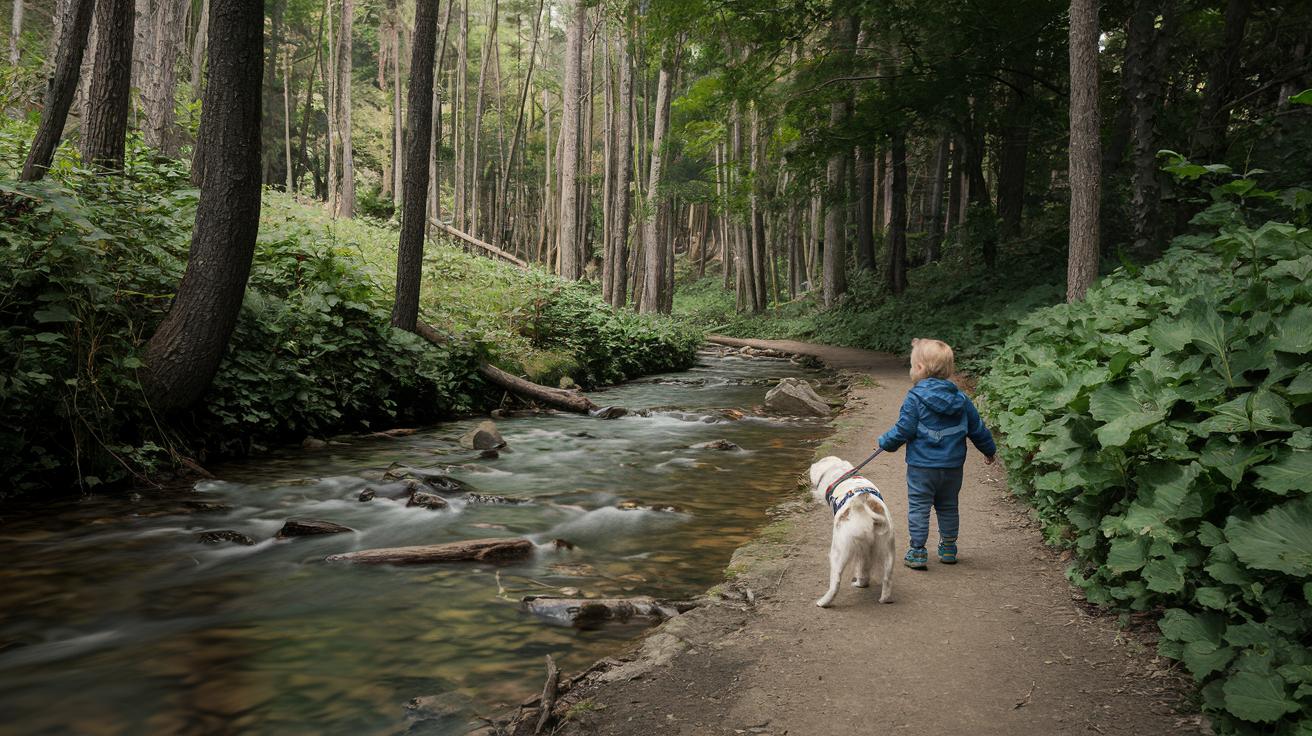
Mount Tam offers gentle trails that welcome anyone ready for a little outdoor fun. For instance, the Verna Dunshee Loop is a 1.8-mile paved path perfect for families. Imagine a sunny day with a toddler giggling along beside a happy, leashed pup, it’s as soothing as listening to a quiet stream.
Then there’s the East Peak Plank Trail. This half-mile walk has a gentle grade and a boardwalk feel that’s easy on the feet. It’s a brief escape to take in sweeping views and the crisp mountain air, like a quick, refreshing breather on your adventure.
Cataract Falls also boasts family-friendly walks. You can try the 1.2-mile Lower Cataract Falls route near Alpine Lake, where the sound of cascading water makes you feel calm and connected. There’s also an alternate path that gives you a different look at the falls without sacrificing safety.
| Trail | Distance | Key Features |
|---|---|---|
| Verna Dunshee Loop | 1.8 miles | Paved, stroller and dog-on-leash friendly |
| East Peak Plank Trail | 0.5 miles | Mild grade, boardwalk feel, scenic views |
| Cataract Falls Options | 1.2 miles roundtrip | Lower Cataract Falls route with a safe alternate path |
Free parking is available at the Rock Spring lot, making it even easier to enjoy these quick and memorable outings.
2 Mount Tam Hikes: Breathtaking Trails Ahead
If you’re ready to push your limits, try the full circumnavigation loop. It covers 18.4 miles and climbs 4,965 feet, taking almost 8 hours of steady hiking. One minute you’re on a wide fire road, and the next you’re on a narrow single-track path where each step really counts. It’s like piecing together a nature puzzle, with every turn demanding your full focus.
A great alternative is the Matt Davis plus Old Railroad Grade combo. This 12-mile trip climbs 3,100 feet as you steadily work your way upward. Imagine climbing like you’re scaling a ladder made of rock and forest, each step brings you closer to the sky and fills you with a sense of adventure.
For seasoned hikers, the mix of broad ridgelines and tricky single-track sections really tests your endurance. It’s smart to break your hike into chunks. Maybe plan a stop at Pantoll or Bootjack campsites to grab a drink and catch your breath. Picture yourself at Bootjack, sitting back with a sip of water, feeling the cool breeze, and looking out over the valley’s ridgelines. Those quiet pauses recharge you for the climb ahead.
Keeping track of your pace with regular breaks can make tackling the elevation a lot easier. Start slow, hit those steep parts with determination, and then slow down for a well-earned rest. This way, you get to enjoy the wild climbs without wearing yourself out.
Seasonal Conditions and Best Times for Mount Tam Hikes
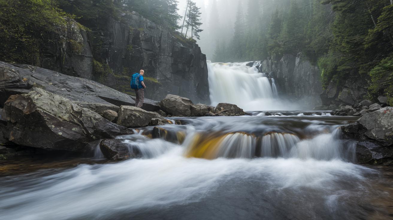
Picking the right time to hike can change your whole experience. In winter and spring, the air is cooler, and the waterfalls at Cataract Falls are at their best. Imagine standing close to water spilling over rocks, its rush filling the crisp morning air. Many hikers have said, "I felt renewed watching the water dance on a cool day!"
Summer on Mount Tam needs a different kind of prep. The inland trails heat up fast, while a soft coastal fog rolls over the ridges early in the day. This mix of warm sun and gentle fog creates a playful scene of shifting light and shadow.
And then there are the wildflowers. In March and April, trails like Matt Davis and Steep Ravine burst into color as tiny blossoms emerge from the greenery. Picture strolling along a vibrant carpet of wildflowers, each step revealing nature’s own art.
Before you hit the trail, it’s smart to check for weather or trail updates. After a storm, take a moment to listen to local advice, maybe even call the Muir Woods hotline, to avoid any unexpected trail closures.
Parking, Logistics, and Nearby Camping on Mount Tam
Parking at Mount Tam is simple once you know where to head. Lots like East Peak, Pantoll, and Bootjack charge a fee, but the Rock Spring lot is free. Imagine pulling up and spotting that free lot, it’s a little boost before you hit the trails.
| Parking Lot | Fee Status |
|---|---|
| East Peak | Fee applies |
| Pantoll | Fee applies |
| Bootjack | Fee applies |
| Rock Spring | No cost |
Once you've parked, think about how you want to wind down or spend the night. You can try your luck with Steep Ravine cabins (they work on a lottery system) or book a spot at Bootjack Campground. If you’d like something a bit more comfortable, the Mill Valley Inn is only about 2 miles from the trailheads. And if you’re in the mood for a little extra adventure, take a short trip into Muir Woods National Monument to stroll among ancient redwoods. These options help you plan an easy-going day on the trails with a nice spot to relax afterward.
Essential Gear and Safety Tips for Mount Tam Hikes
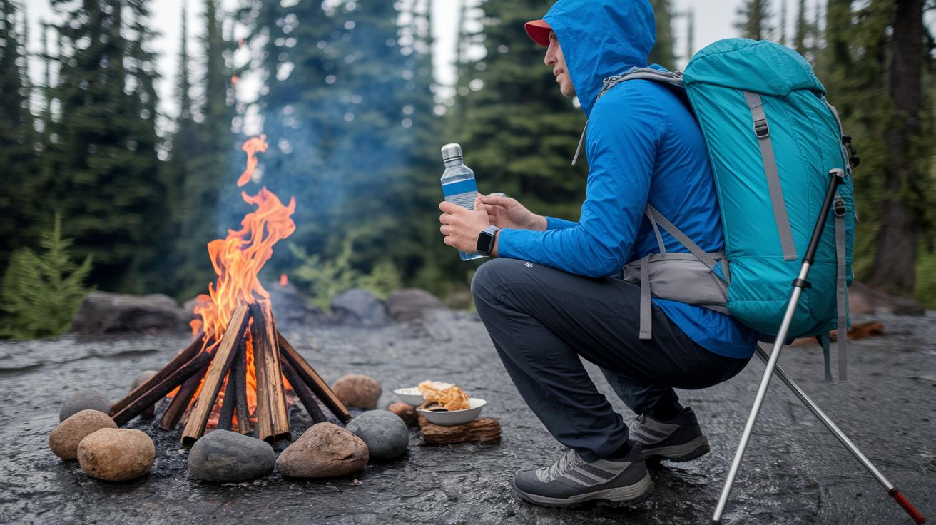
Before you head out, pack smart like you’re preparing for an adventure around a cozy campfire. Grab a sturdy day pack with a rain cover so you’re ready if the weather suddenly turns. Fill it with 2–3 liters of water and plenty of high-energy snacks to keep you going on steep climbs. I remember one time when my trusty water bottle and a handful of granola bars carried me through a rocky patch, you know how it goes.
Next, make sure you’re wearing proper hiking shoes that can hold their grip on uneven dirt and rocky paths. And if you feel you might need a bit more balance on those steeper ups, try using hiking poles (they’re like extra arms helping you along the way).
It’s also wise to pack a small emergency kit. Think of it as your trail buddy that’s always there when you need a hand. Include basic first-aid items, a map with a compass (great when your phone fails you), and an emergency blanket for those unexpected chills. One fellow hiker once mentioned that a quick fix from his first-aid kit during a minor twist made all the difference.
Let’s not forget to care for our natural surroundings. Stick to marked trails, dispose of waste properly, and follow Leave No Trace principles. This simple practice helps keep the trail and local wildlife safe and sound for everyone to enjoy.
Before you leave, double-check you’ve got:
- A day pack with a rain cover
- 2–3 liters of water and high-energy snacks
- Proper hiking shoes (with optional hiking poles)
- First-aid items, a map with a compass, and an emergency blanket
Photo-Worthy Scenic Overlooks and Wildlife Spots on Mount Tam
At East Peak, you get an amazing view that stretches out to the Bay Bridge and even hints at Alcatraz. Picture standing there with your camera, watching the city lights sparkle and the Pacific Ocean shimmer in the distance. This spot is a real favorite for snapping photos that capture the heart of outdoor adventure.
Just a short walk away, the Steep Ravine Trail leads you to cascading waterfalls. The gentle mist, mixed with sunlight peeking through the trees, creates changing scenes that feel alive, perfect for anyone who loves vibrant, nature-filled photos.
Over at the Coast View Trailpoint, keep your eyes peeled for soaring hawks, bounding deer, and bursts of wildflowers. It’s as if nature has set the stage just for you. And as the day winds down, head to the sunset lookout at the Matt Davis Fire Road junction. There, the soft, golden light casts a warm glow over rugged slopes, making it a must-see spot for photographers and nature lovers alike.
Community Insights and Reviews of Mount Tam Hikes
Hikers on various online forums have been sharing down-to-earth tips and real-life advice that make planning a Mount Tam hike feel like chatting with a seasoned friend. One local hiker even tried out a new pair of trail-running shoes on an 18.4-mile loop. They loved how light the shoes felt and the Fresh Foam cushioned every step, but a narrower toe box squeezed their pinkies by the end. One Reddit thread summed it up perfectly: each step was a mix of quick pace and a bit of discomfort, the kind of honest insight every trail lover values.
Local experts also point out cool spots like Sierra Vista Open Space and Almaden Quicksilver for those itching to explore beyond Mount Tam’s main paths. A friendly guide once said, "Winter blooms and waterfall trails are simply unbeatable," offering a personal touch with straightforward trail ratings and reliable weather tips. These little nuggets of advice help make the whole experience feel warm and community-driven.
Other discussions in popular hiking forums keep the spirit alive by highlighting adventures like the Pancake Hike and even the buzz around the Steep Ravine cabin lottery. It all comes together to create a genuine, crowd-sourced vibe that makes every Mount Tam journey feel like a shared adventure on a beautiful day.
Final Words
In the action, our overview brought together trail details, navigation tips, gear advice, and stunning scenic spots in one handy guide. We shared the fun of family routes and the thrill of challenging climbs while stressing smart safety practices.
Every part of the article spoke to the many layers of mount tam hikes, giving you the info to plan a safe and memorable outing. Enjoy your next trek with optimism and wonder, ready for a fresh, rewarding experience outdoors.
FAQ
Frequently Asked Questions
What is the most popular hike in Mount Tamalpais?
The most popular Mount Tam hike is the classic loop that connects the Dipsea, Steep Ravine, and Matt Davis trails, offering hikers memorable forest and coastal views.
What does the Mount Tam trail map include?
The Mount Tam trail maps provide details on mileage, trail junctions, and parking locations with clear signage to help you stay on course during your hike.
How difficult is a Mount Tamalpais hike?
Mount Tamalpais hikes range from easy family-friendly loops to long, steep climbs, so you can pick a route that matches your fitness level and outdoor skill.
Do you need a reservation for Mount Tamalpais?
Most Mount Tam trails are open without a reservation, though some special areas like cabin lotteries may require advanced booking for overnight or exclusive experiences.
What is Mount Tam East Peak?
Mount Tam East Peak is a scenic spot at 2,571 feet that you can reach via a short walk on the Plank Trail, with stunning views of the Bay Area around sunrise or sunset.
What are the highlights of the Dipsea and Steep Ravine Trail junction?
The Dipsea and Steep Ravine Trail junction features a blend of steep forest paths, cascading waterfalls, and stunning coastal vistas, making it a favorite among locals.
How can a Mount Tam hike connect with nearby attractions like Muir Woods and the Golden Gate Bridge?
You can combine your Mount Tam hike with visits to Muir Woods via nearby routes and catch views of the Golden Gate Bridge from certain ridgeline spots for an extra visual treat.
Which Mount Tam hikes offer the best views?
The loop featuring Dipsea, Steep Ravine, and Matt Davis trails provides some of the best views on Mount Tam, with expansive scenes of the city, ocean, and forests.
What is the most beautiful hike in Arkansas?
While Mount Tam is known for its coastal and mountain scenery, Arkansas boasts its own striking trails often found in the Ozark region, celebrated for their lush woodlands and tranquil streams.
Is 7 Falls a hard hike?
The 7 Falls hike is known for its steep climb and uneven steps, so be ready for a moderate challenge that rewards you with refreshing waterfall views along the way.