
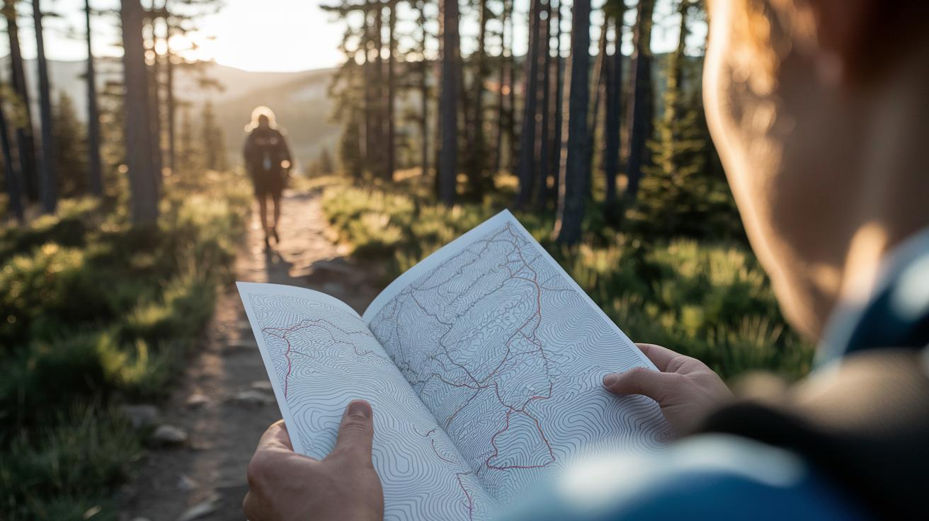
Ever wonder if one safe tool is really enough in the wild? Some folks lean on smartphone maps, while others swear by a trusty compass along with well-made paper maps. Mixing old favorites with modern fixes helps keep you on track when your signal fades or your battery dies.
Picture yourself at a quiet campsite, feeling secure because you have backup options for every twist and turn. This post shares easy tips on using both classic tools and digital aids so you can always find your way home.
camping navigation essentials: Stay safe outdoors

Mixing old-school tools with modern gadgets is like having a reliable buddy on an adventurous hike. A trusty baseplate compass paired with a weatherproof topographic map keeps you on the right path when battery life is fading or signals are nowhere in sight. And yes, your smartphone with its mapping apps works as a quick backup, even if you worry about its battery running low.
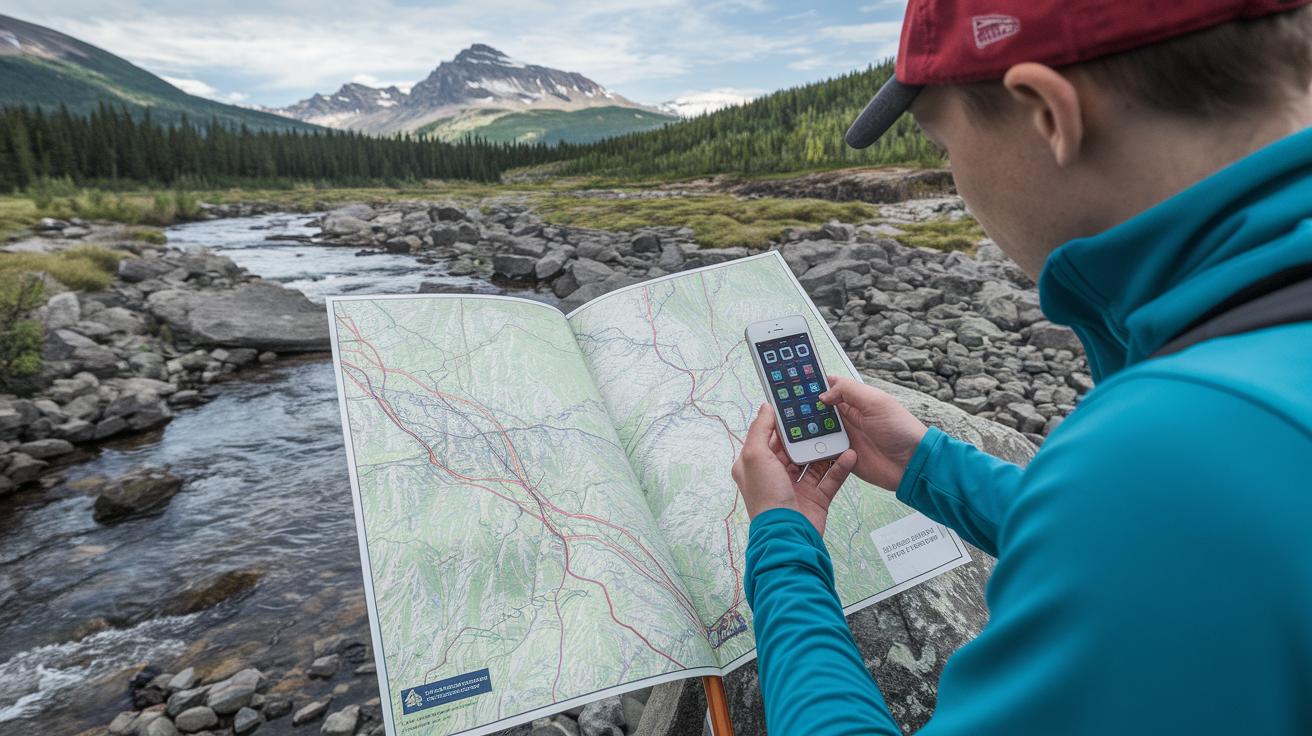
When you combine these options, you always have a solid fallback if one system fails. Digital maps like Gaia GPS, AllTrails, and BackCountry Navigator work great when you can see the land around you, while traditional tools shine in those remote areas. In truth, this extra layer of safety is key when nature throws you a curve.
- Baseplate compass with rotating bezel and fixed travel arrow
- Waterproof, rip-proof topographic map with clear contour lines
- Smartphone preloaded with essential map apps
- Backup power bank for emergency charging
- Altimeter with a built-in scale ruler for measuring distances
- Protractor tool for clear map reading
- Protective case to keep your gear safe and handy (see "camping essentials checklist" at https://blackandburlap.com?p=280)
Before setting out, give your equipment a good check and a quick clean. Keep your maps dry in a secure case, and make sure your compass is spot on. Charge that power bank and smartphone to full, just like packing your favorite snack for the trail. Doing so will help you feel confident and secure, no matter what surprises the great outdoors has in store.
Advanced Topographic Mapping Skills for Camping Navigation
Topographic maps aren’t just pieces of paper, they’re like nature’s own secret guide. Those contour lines show where hills rise and valleys dip, almost like nature drawing its own map. When the lines are crammed close together, it usually means a steep climb; if they’re spaced out, the trail might be easier. It’s pretty cool to think that such simple markings can hint at how hard a climb might be. Knowing this helps you chart a safer, more enjoyable course on your next adventure.
Then there’s the map legend, which is kind of like a secret code waiting for you to crack it. The little symbols mark everything from a gurgling stream (usually shown as a blue squiggle) to a barely-used trail (often a dotted line). Breaking down these symbols lets you see which landmarks are natural and which are man-made. This small but important step can really steer you clear of confusing detours and keep you on track.
Understanding the scale is another key trick for smooth navigation. For example, with a 1:24,000 scale map, you can turn those map measurements into real-life miles. Grab the map’s built-in ruler, measure the distance between points, and then picture the actual route ahead. And if you notice a steep patch along the way, you might decide to “aim off” to avoid it. Tweaking your path like this keeps your pace steady and ensures that every step of your journey is as clear and manageable as a well-marked trail.
Navigational Compass Techniques and Calibration for Camping Navigation
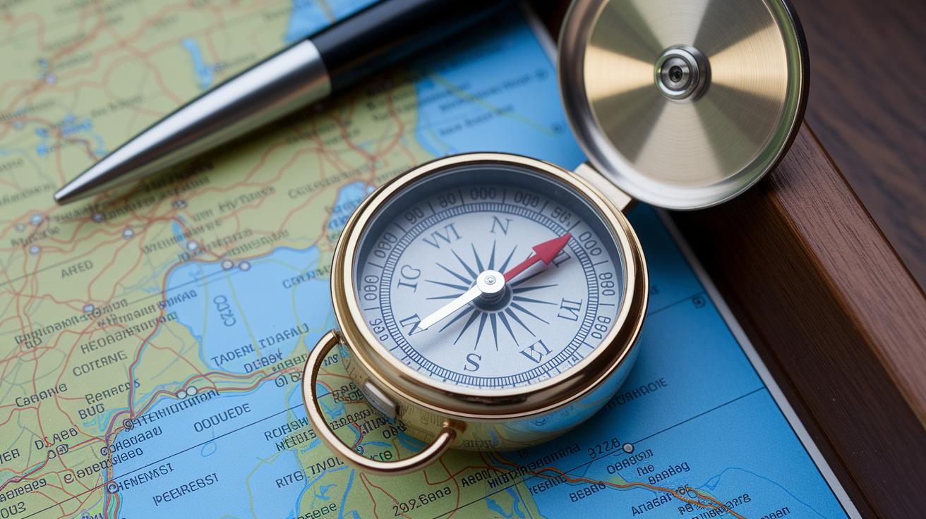
Your baseplate compass is a camping essential. It has a spinning bezel with degrees marked on it, a magnetic needle that always seeks magnetic north, and a fixed travel arrow to show your way. To take a bearing, simply point the travel arrow toward your goal, then turn the bezel until the needle lines up with the small orienting arrow. Say you’re headed to a river, you’d line up the arrow along the water and let the needle settle on a number that tells you your direction.
Learning the parts of your compass makes a big difference. When the travel arrow points at a clear landmark, like a mountain peak, the reading you see (0° for north, 90° for east, and so on) shows your intended path. This simple method keeps you moving in the right direction, whether you’re deep in the woods or exploring rocky terrain.
- Hold the compass flat and level so the needle can spin freely.
- Point the travel arrow straight at your target.
- Turn the bezel until the magnetic needle matches up with the orienting arrow.
- Adjust for magnetic declination (the difference between true north and magnetic north) by shifting the bezel marks as needed.
After you’ve set your compass, double-check your reading by looking for steady landmarks like peaks or rivers. If a distant ridge lines up with your compass reading, you can be sure you’re on the right trail.
Digital Navigation Solutions: GPS Devices and Mobile Map Applications

When you're out in the wild, choosing your navigation tool can make all the difference. A smartphone with map apps gives you live, colorful details but tends to use up battery fast and needs a steady signal. On the other hand, a handheld GPS is built for long adventures with strong battery life and stays accurate (less than 10 meters off) even in the middle of nowhere.
| Device Type | Battery Life | Offline Capability | Accuracy | Average Cost |
|---|---|---|---|---|
| Handheld GPS Unit | 10–20 hours | Built-in offline maps | Sub-10 m | Higher cost |
| Smartphone App | Varies; ~10% battery/hr usage | Pre-downloaded tiles | Dependent on GPS chip | Lower to moderate |
Keeping your gear powered up is key when you're on the trail. Whether you're all about your handheld unit or a trusty smartphone, it's smart to pack a backup power bank. You might even consider a solar charger if you're planning an extended trip off the grid. Sure, a solar charger can add a bit of extra weight and cost, but it might just save the day when you need it most. A balanced approach with proper energy backups helps you stay on track and enjoy every step of your outdoor journey.
Route Planning Strategies for Camping Navigation and Trail Mapping Tips
Before you hit the trail, mapping your trip is a must for a smooth outing. Grab your topographic map and mark key spots, like a favorite tree or a rocky hill, that you can use as natural signposts. Check the map’s scale to measure total mileage and plan to cover about 10–20 miles each day. Marking river crossings or trail splits on paper helps you picture your route and keeps you ready for any surprises.
Choose waypoints that work on both printed maps and your phone's apps. Landmarks such as rocky outcrops, water sources, and stream crossings can make navigation a whole lot easier. Mixing paper and digital markers is like having a backup plan if one tool lets you down. Plus, using simple resection methods (figuring out your exact location with nearby points) becomes a breeze with clear planning.
Out on the trail, stay on top of your progress with real-time mapping tools. Use your map’s scale to check distances and count your steps to keep track of your pace. Many hikers rely on simple pacing or a watch app to help them follow their planned route exactly. Ever tried one? It never hurts to have extra peace of mind.
Be ready to adjust your plan when the weather or daylight shifts. Fog, rain, or early dusk can cut visibility and make slopes seem steeper. Take a moment to recheck your map and decide if you need to slow down, shorten your route, or pause at a safe spot. Staying flexible helps you adapt and stay safe when nature changes its tune. And don’t forget to review local forecasts daily, so you can tweak your route at the right time.
Emergency Camping Navigation: Wayfinding and Backup Methods

Imagine this: your high-tech gear suddenly quits on you, and you’re left to rely on nature’s own signals. The sun, moving steadily from its rise in the east to its set in the west, shows you both time and direction. On a clear night, spot Polaris (a bright star that’s nearly fixed in the north) to guide you. Even the way plants lean on a slope can hint at wind or water flow directions. These simple clues can keep you on track when modern devices let you down.
For safety, it’s smart to pack a signal whistle or an emergency beacon. These little tools are like a friendly shout in the wilderness. A small whistle can travel surprisingly far across open spaces, and a handheld beacon sends a clear SOS to nearby hikers or rescuers when you’re off the path.
When the lights are low, a headlamp with a red lens can be a real lifesaver. It lets you check your waterproof map without messing up your night vision, all while cutting down on glare so you can see trail markers more easily.
Here are a few quick tips:
- Create a sun compass using a stick and its shadow.
- Use reflective surfaces to send out light signals.
- Fashion a makeshift mirror from available materials.
Stay safe out there and trust these natural cues, they might just be your best guide when technology fails.
Final Words
In the action, we walked through using traditional tools like compasses and maps alongside digital apps to form a complete set of camping navigation essentials. The guide explored everything from setting a bearing with a portable compass and reading waterproof maps to backing up with smartphone apps and natural cues during emergencies.
We hope this wrap-up inspires you to confidently pack your gear and enjoy the open trail, armed with both modern and classic techniques for safe travel. Happy trails!
FAQ
Q: What are some recommended camping navigation essentials shared online?
A: The online community highlights gear like waterproof topo maps, a baseplate compass, handheld GPS devices, and smartphone apps with offline maps as must-haves. These options often come without extra cost.
Q: Where can I learn map and compass navigation skills?
A: Map and compass navigation courses are available on various online platforms and outdoor forums. They offer clear, hands-on lessons that build confidence and practical skills with traditional tools.
Q: How do you use a compass for navigation?
A: Using a compass involves lining up the travel arrow with your destination, rotating the bezel until the magnetic needle aligns with the orienting arrow, and then reading the correct degree to follow on your map.
Q: What are the 10 essentials when camping?
A: The 10 essentials when camping usually include navigation tools, a headlamp with extra batteries, sun protection, a first aid kit, a knife, fire starters, food and water, shelter supplies, extra clothing, and emergency repair items.
Q: What are the basics of land navigation including the 4 D’s, and what helps with directions when camping?
A: The basics of land navigation center on reading maps, using a compass, and spotting natural landmarks. The 4 D’s guide you to determine your course, decide on a path, draw a mental map, and document your distance, ensuring reliable directions outdoors.